ROCA toolbox for ArcGIS
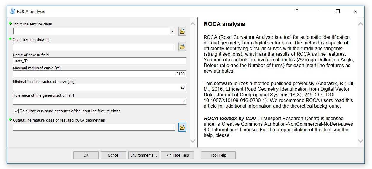
ROCA toolbox is developed for ArcGIS in version 10.2 - 10.8 and new version of ROCA toolbox for ArcGIS Pro version.
Datasets of training, validation and test data of the Czech Republic are related to article:
Bíl M., Andrášik R., Sedoník J., Cícha V., 2018. ROCA – an ArcGIS toolbox for road alignment identification and horizontal curve radii computation. PLoS ONE 13(12): e0208407. https://doi.org/10.1371/journal.pone.0208407

Download training and validation data here.
(classified vertices of road segments geometry, data format: .TXT, XY coordinates in EPSG: 5514 S-JTSK_Krovak_East_North)
Download test data as polyline here and as vertices here.
(20 road segments for testing, data format: polyline SHP, coordinate system in EPSG: 5514 S-JTSK_Krovak_East_North)
(classified vertices of road segments geometry for testing, data format: .TXT, XY coordinates in EPSG: 5514 S-JTSK_Krovak_East_North)
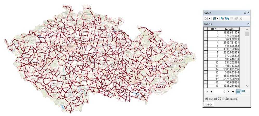
Download example input data for ROCA analysis here.
(road network of rural secondary road class segments in the Czech Republic, data format: polyline SHP, coordinate system in EPSG: 5514 S-JTSK_Krovak_East_North)
Crash data can be downloaded here.
Description of ROCA and CMF analysis here.

Copyright © 2022
Centrum dopravního výzkumu, v. v. i.